
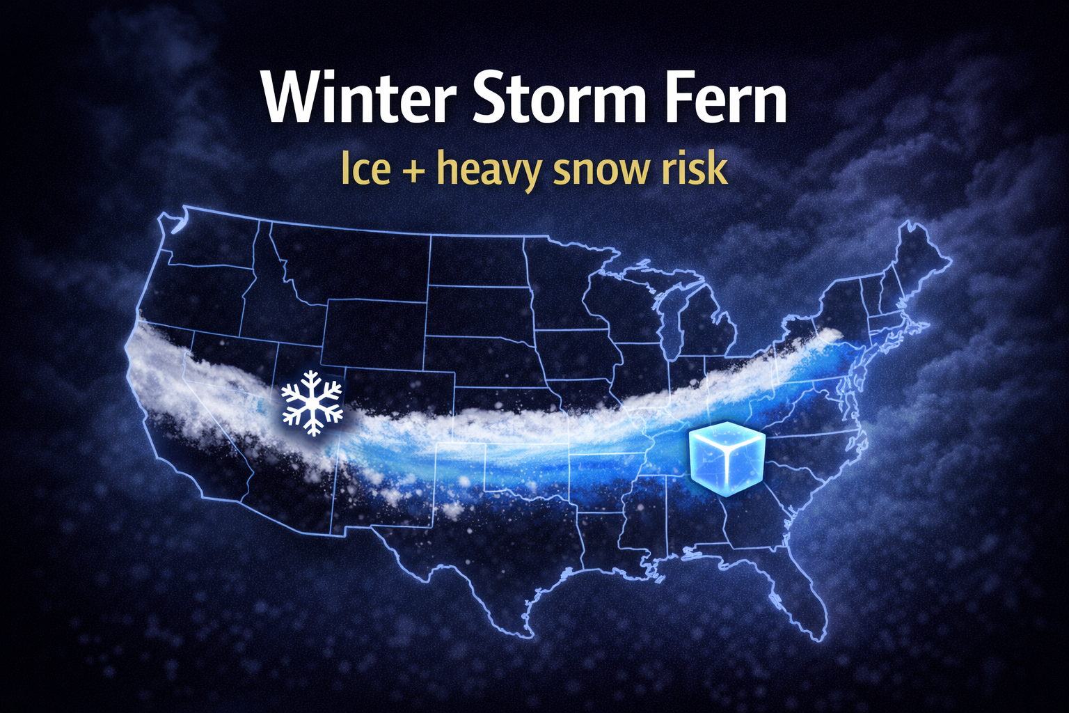
Winter Storm Fern Could Slam Over 180 Million People With Ice, Snow, and Dangerous Cold From Texas to New England
A massive winter system dubbed Winter Storm Fern is expected to stretch across a huge portion of the United States, bringing a dangerous mix of heavy snow, sleet, and potentially damaging ice from Texas and the Southern Plains into the Midwest and Northeast.
Forecasters say Fern could impact more than 180 million people, making it one of the most disruptive winter threats of the season due to both the size of the storm and the risk of significant icing in parts of the South.
The worst impacts are expected from Friday through Monday, with a wide swath of hazardous travel, possible power outages, and extremely cold air pushing into the affected regions.
Why Winter Storm Fern is such a big threat
This storm isn’t just a “snow event.” The major risk comes from the combination of:
-
heavy snow in colder zones
-
sleet along the transition line
-
freezing rain and ice accumulation farther south
-
dangerous cold air behind the system
Ice storms can be especially destructive because even a small amount of freezing rain can lead to:
-
downed trees and power lines
-
widespread outages
-
extremely dangerous road conditions
The Weather Channel warns that damaging ice is possible along portions of the storm track, and snow totals could reach double digits in parts of the Mid-Atlantic and Northeast.
Timing: When the worst conditions could hit
Based on the latest forecast:
Friday
Wintry weather begins expanding through the Plains, with snow and ice spreading into parts of:
-
Kansas
-
Oklahoma
-
north and west Texas
-
Arkansas
Cities that could see early impacts include Lubbock and Dodge City, according to The Weather Channel timeline.
Friday night into Saturday
The storm pushes farther south and east, increasing the risk of ice for parts of:
-
Texas
-
the lower Mississippi Valley
-
Tennessee and northern Alabama
Major metros in the possible impact zone include Oklahoma City, Tulsa, Dallas, Austin, Kansas City, Little Rock, Memphis, and Nashville.
Sunday into Monday
The system spreads toward the East Coast with heavy snow potential in colder zones, while ice risks persist near the storm’s southern edge.
Biggest risks: Ice accumulation and power outages
The most disruptive outcomes typically occur when heavy ice hits population centers, because ice can:
-
snap tree limbs
-
bring down utility lines
-
make roads nearly impossible to treat
-
delay emergency response times
Forecasters stress that the most severe impacts will likely occur where ice storm warnings and winter storm warnings are issued as the forecast becomes more precise.
Travel disruption risk: Major highways could be impacted
One of the most important things to monitor is the storm’s overlap with major U.S. travel corridors. A system this wide can disrupt interstates that connect multiple regions.
If Fern tracks as expected, it could affect travel and freight movement across several heavily used routes, including portions of the Southeast and Mid-Atlantic.
Final Takeaway
Winter Storm Fern has the potential to become a major nationwide weather event due to the size of the system and the threat of damaging ice in parts of the South, combined with heavy snow farther north.
If you’re within the storm’s projected path, the next 24–48 hours will be crucial for tracking warnings, preparing for outages, and avoiding travel during peak impacts.
FAQ: Winter Storm Fern
What is Winter Storm Fern?
Winter Storm Fern is a large winter storm expected to bring snow, sleet, and freezing rain from Texas to New England, affecting over 180 million people.
When will Winter Storm Fern hit?
The storm is expected to bring the worst impacts from Friday through Monday, depending on region and storm track.
Where will the most dangerous icing happen?
The biggest icing risks are expected in parts of the South near the storm’s transition zone, where freezing rain can accumulate and lead to power outages.

